

Photo: @Kaitlin Costa
Many say that nature heals the soul and waterfalls are far from the exception. According to “The Owner’s Manual for the Brain: Everyday Applications from Mind-Brain Research” written by Pierce Howard Ph.D., when water molecules fall and collide with other water molecules, they release negatively charged ions into the air. These negative ions are then absorbed into the bloodstream, which causes biochemical reactions that are known to increase energy, alleviate stress, and decrease depression. So, take a mental health day and go chase waterfalls in Grand Junction!
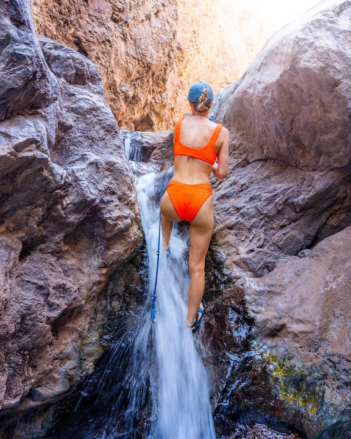
Photo: @operation.adventure
Spring run-off feeds the waterfalls caused by light rain and melting snow from the surrounding mountains, mesas, and canyons. The fresh mountain spring water winds its way to striking cliffs that gush with cascading waterfalls.
Take the Big Dominguez Canyon Trail and follow it into the Dominguez Canyon Wilderness Area. No more than 0.5 mile after entering the Wilderness Area, you will find a waterfall on the left-hand side of the trail and an old homestead on the right. The Big Dominguez Canyon is a bowl rock formation, which allows the water to collect in a small pool. Continue to the four-mile mark to be rewarded with archaic rock shelters and petroglyphs carved into the giant boulders.
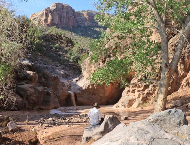
Photo: @Carla DeKalb
No Thoroughfare Canyon is perhaps one of the most iconic scenes within Colorado National Monument, and for good reason. This sloping canyon makes its way deep into the red rock that is filled with lush vegetation that thrives on spring runoff. There are multiple waterfalls in this canyon, framed with large flourishing trees. If you plan to complete the entire hike from the top of Glade Park down into Devil’s Kitchen, be sure to download a trail app, like AllTrails, and be prepared to be on the lookout for cairns. This is a difficult hike and requires orienteering skills. There’s a reason it’s called No Thoroughfare! Or take the easy route from Devil’s Kitchen upward. You’ll be in a better position to stop and turn around when you want.
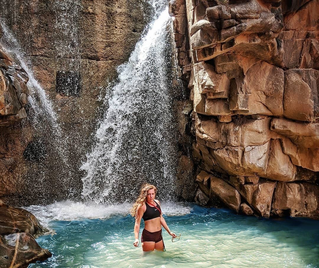
Known by locals as "The Potholes," the Little Dolores River carves a series of deep pockets of water that are connected by several waterfalls. It’s not just the fact that these waterfalls exist in the high desert that makes them an oasis. Thanks to snowmelt from Pinon Mesa and the Little Dolores River, water flows over the edge most of the year, which is unusual as many desert waterfalls dry up after the spring runoff. If you are looking to see the oasis for yourself, the trail to these beautiful cascades starts at the Dolores Falls Trailhead.
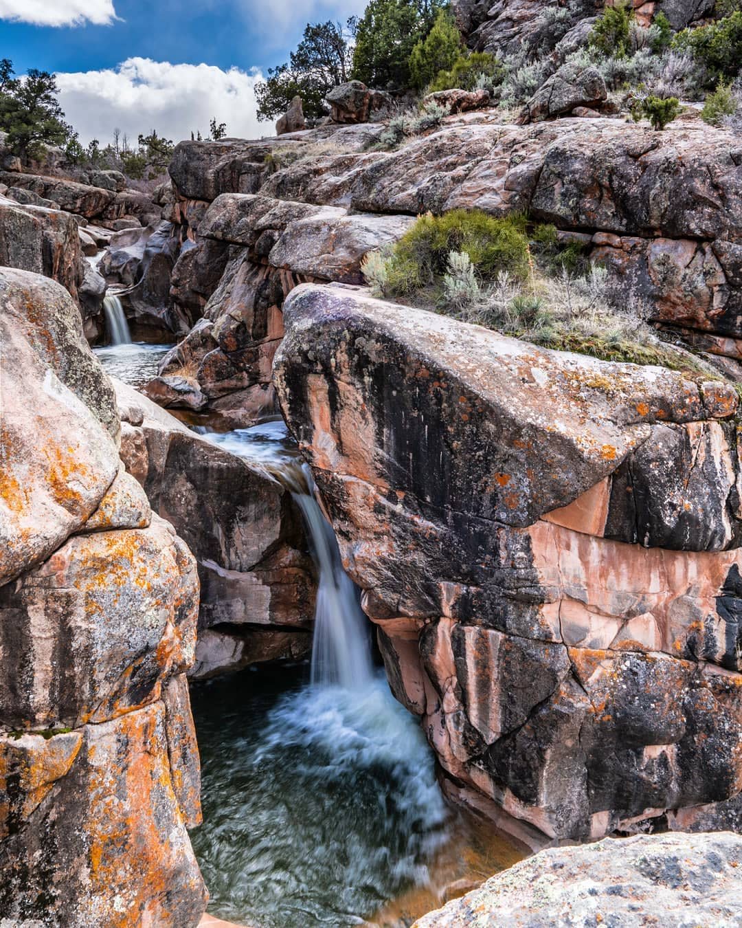
Photo: @kylebt
The wide-open desert landscape is contrasted by the steep and narrow channel of water, and the surrounding red rock formations add an extra element of otherworldliness. In the summer months, it’s not uncommon to see others enjoying the beauty of the Potholes, swimming, and even jumping. As is the case with any body of water, jumping in can be extremely dangerous (not recommended) especially during spring runoff when currents are at their strongest. Please be aware of dangerous rock features in the water and use extreme caution. Please also remember to practice Leave No Trace principles - if you pack it in, pack it out. Leave the area pristine for others to enjoy it the way you have.
James M. Robb Colorado River State Park – Connected Lakes Section:
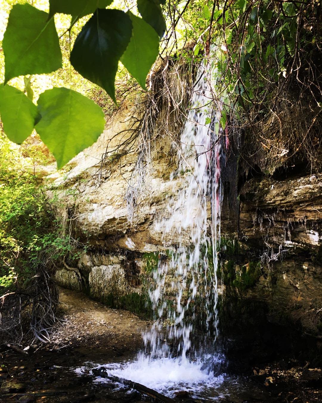
Photo: @lil_mis.sunshine
Along the Audubon Trail, located just outside of the James M. Robb State Park – Connected Lakes Section, sits a small waterfall that appears mysteriously after heavy spring runoff or a sizable rainstorm. The water is diverted through the Redlands, and rushes down before flowing into the Colorado River. The waterfall appears depending on the amount of water being released from Redlands Water and Power, so keep your eye out the next time you are taking a stroll on the Audubon Trail. This area also boasts views of the mighty Colorado River and the peaceful lakes of the nearby James M. Robb State Park. All of which, nourish the land that provides a protected habitat for over 200 different species of birds who thrive in the area – making it a bird-watchers dream.
Land’s End Spring & Kannah Creek Falls:
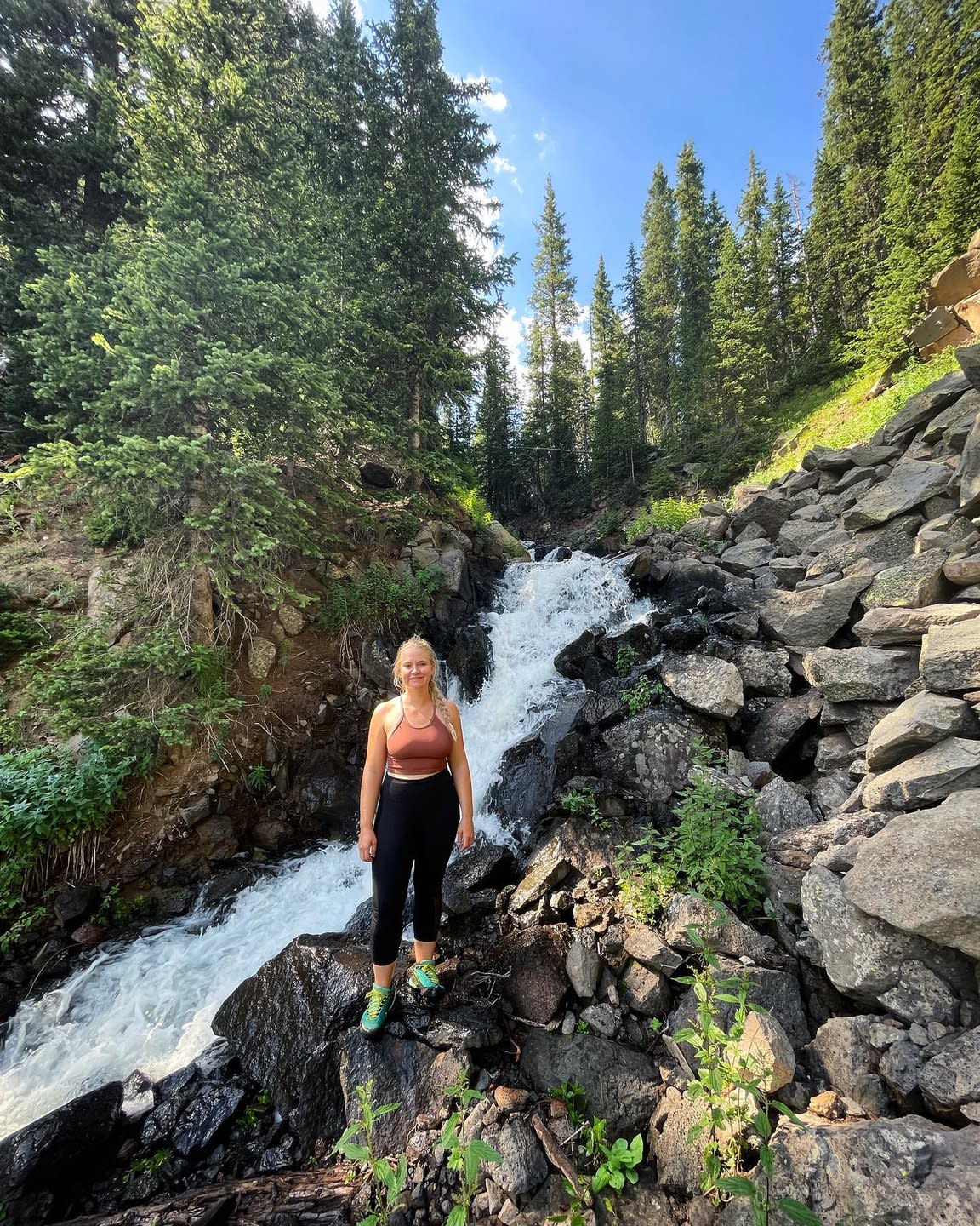
Photo: @genuinely.heather
At the edge of the world’s largest flat-top mountain, bursting with over 300 lakes, stands Land’s End Observatory. While the observatory is no longer in use, it’s easy to see what inspired the name. The land seems to end in an impressive and jagged drop-off. Natural springs and stunning waterfalls cascade down the steep drops of the face of the cliffs making for a relaxing experience and awe-inspiring views. You can find the natural spring on the second to last switchback on Land’s End Road (FS 100) as you climb to the top of the Grand Mesa. It will be located on the right-hand side going up and the left-hand side going down. Take your water bottle because this water is as clean and pure as it gets! As you are filling up, listen closely because you may be able to hear the cascading sounds of Kannah Creek Falls. The waterfall is located about 750 feet after the spring when going up the Grand Mesa.
Looking for more ways to enjoy Grand Junction? Check out page 28 of the Grand Junction Adventure Guide!