

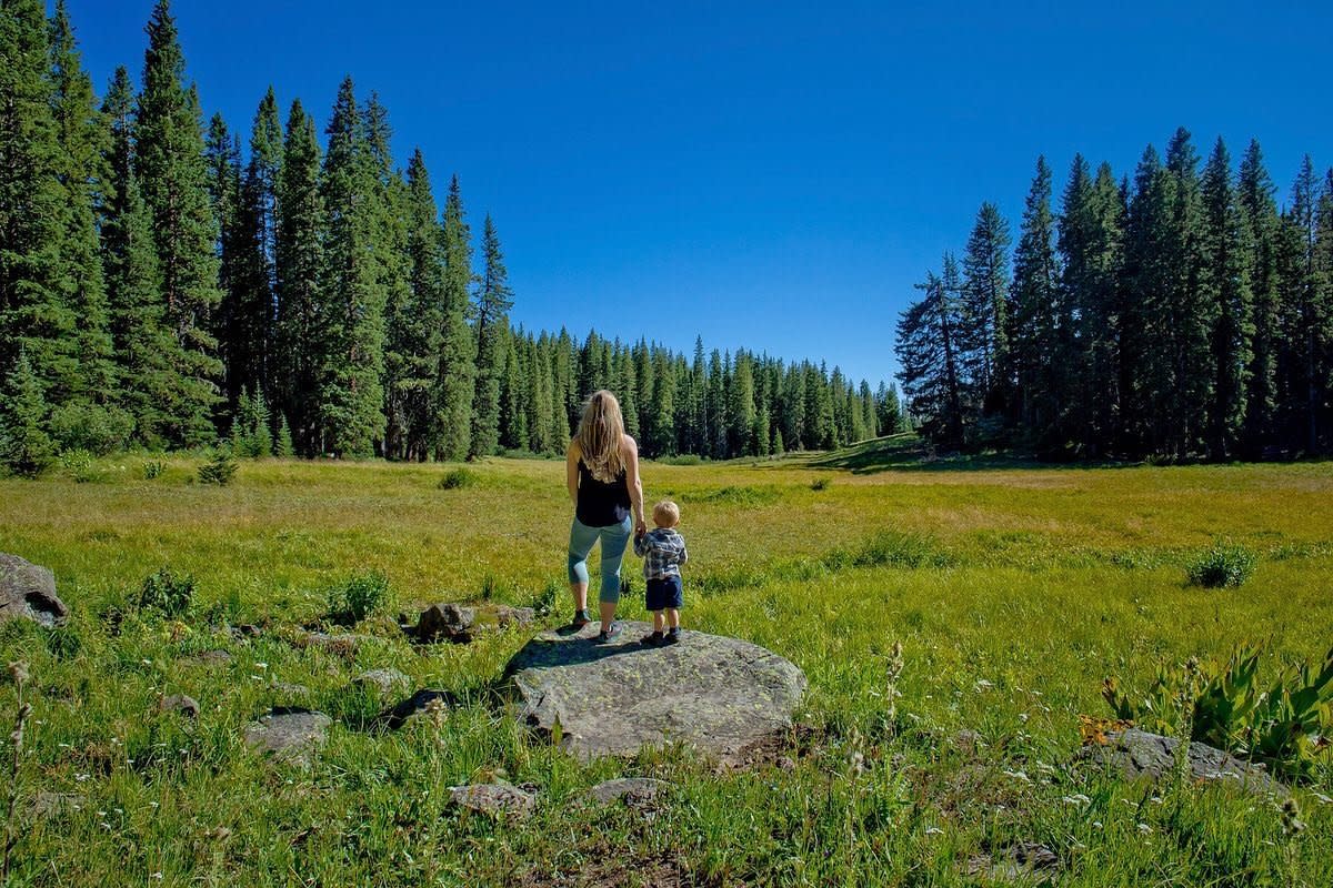
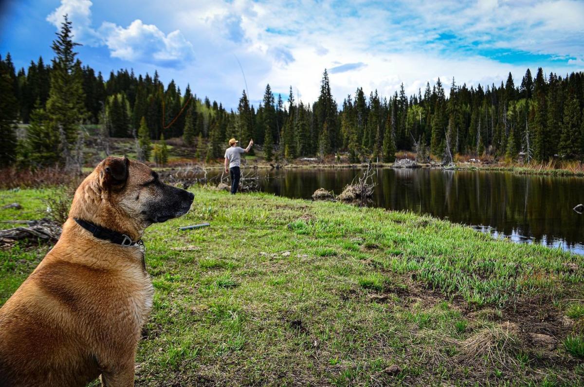
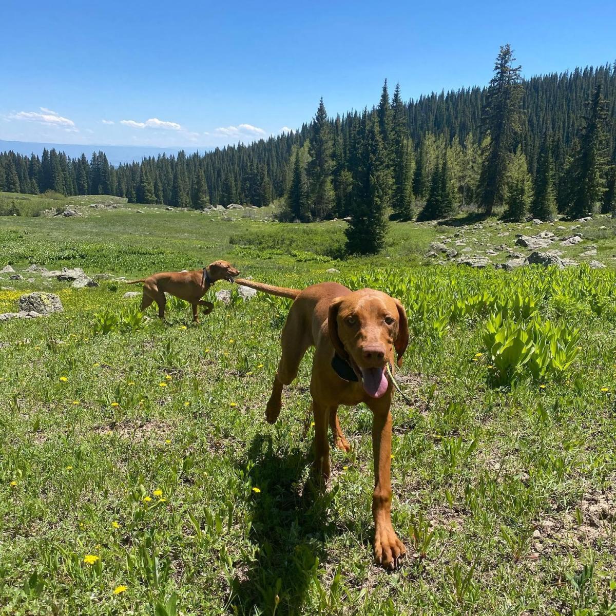
Reaching over 11,000 feet and encompassing over 500 square miles, the Grand Mesa provides hundreds of hikes with the peace and tranquility you expect when spending time with nature. Only 45 minutes from Grand Junction, the top of the world’s largest flat-top mountain is an outdoor playground bursting with over 300 lakes and swimming with trout. Due to the expanse of this area, trails are never crowded, and a bonus – you can hike with your dog off leash.* Just be sure they are under good verbal control, especially due to the moose who thrive in this area.
The most common way to access the Mesa is on Highway 65. Designated as a National Scenic Byway, Highway 65 starts in De Beque Canyon off I-70 and climbs upwards through a steep canyon before opening up to stunning vistas of the Mesa, the Valley, and Grand Junction. Pull-offs provide convenient stops to take in the breathtaking views and snap a photo.
Hike on Top of the World
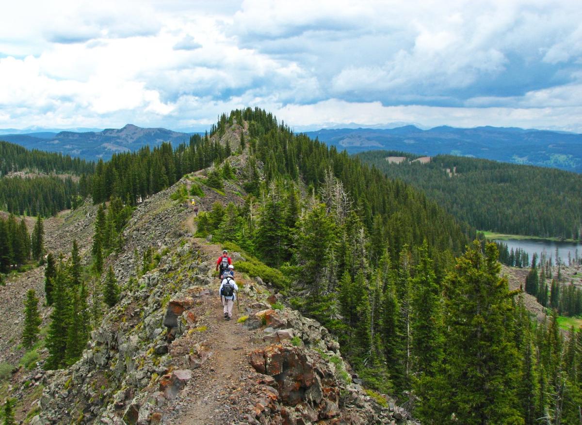
When standing on top of the Grand Mesa, it's easy to feel like you're on top of the world. However, it is possible to climb even higher. Crag Crest Trail is a popular 12-mile out and back hike that follows a ridgeline high above the surrounding landscape. From the impressive height of Crag Crest, you can see for hundreds of miles in all directions on a clear day.
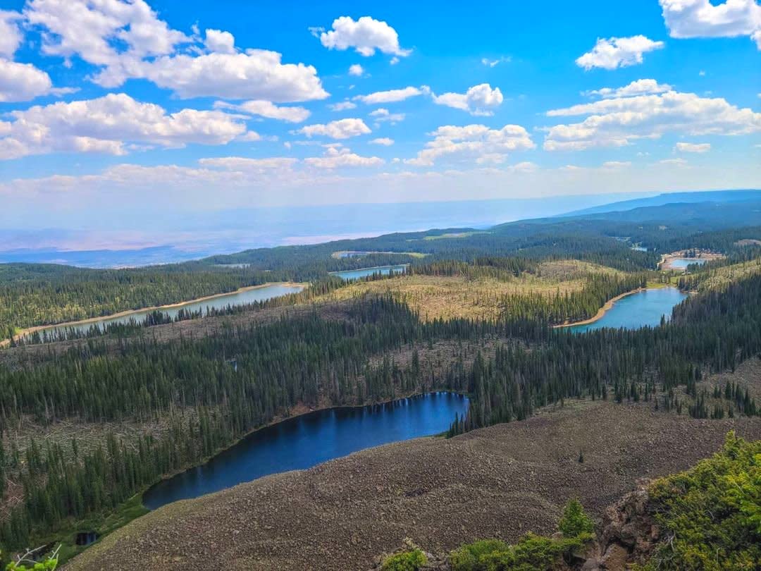
Photo by Kristen Hawley
As you hike along the trail, enjoy the view of sparkling lakes that shimmer below you. Across the entire Grand Mesa, there are over 300 alpine lakes, and over a dozen are visible from Crag Crest. Above you, Bald Eagles and hawks glide through the air.
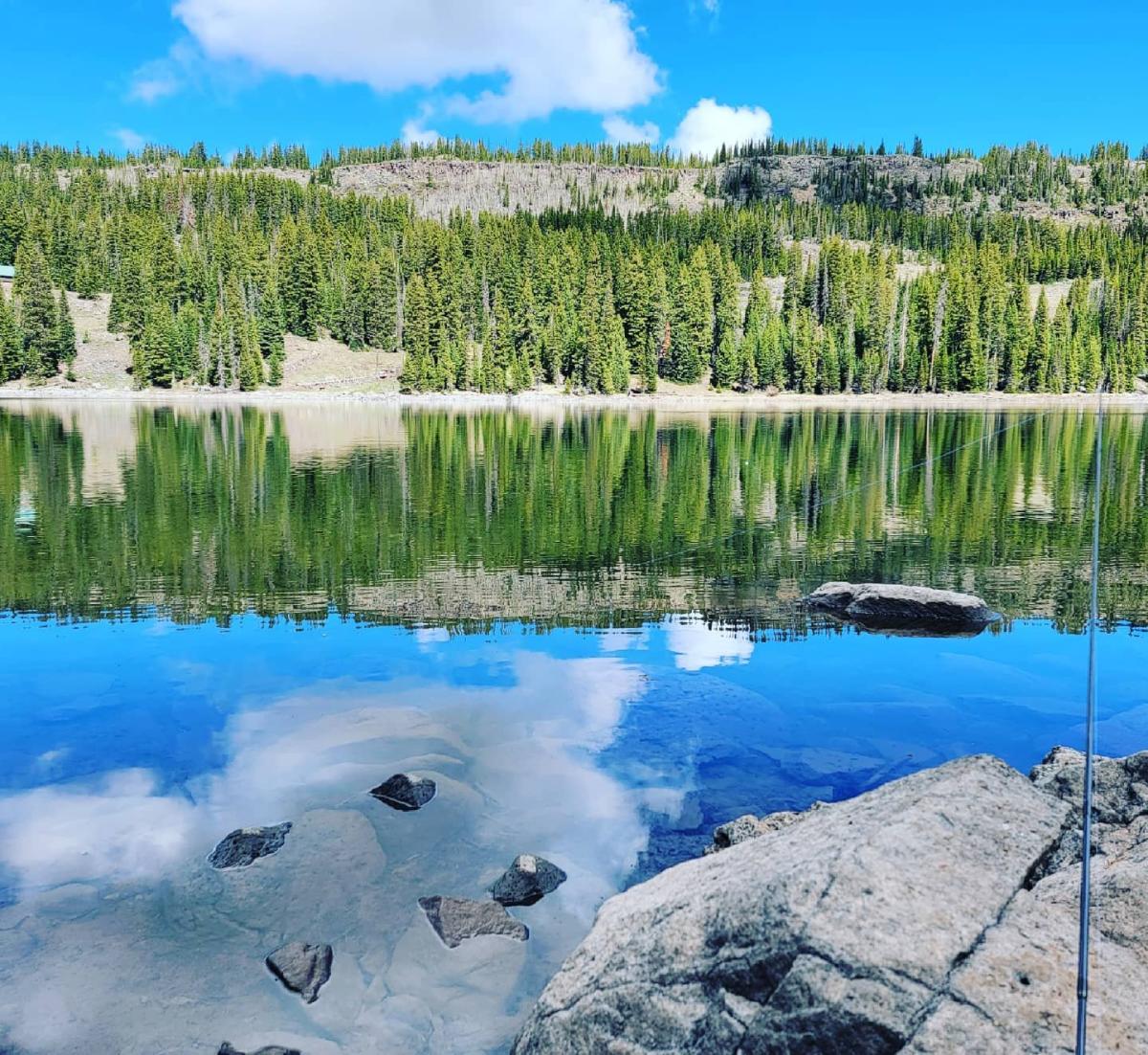
Discover a Forgotten Lake 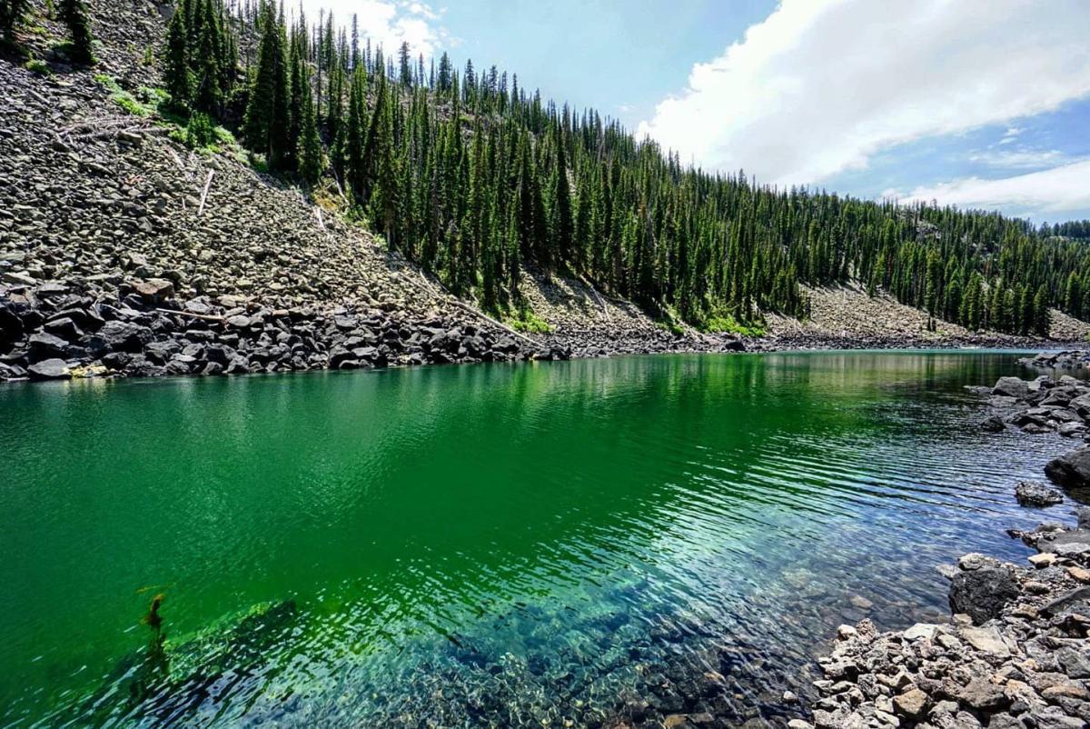
Tucked away within the dense pine forests you’ll find Lost Lake, a glacier lake nestled amongst basalt boulders. Only a 2.5 mile round trip from the Glacier Springs Trailhead, the Lost Lake Trail meanders through a canopy of giant pine trees that is dramatically different from many of the red rock hikes found lower in the valley.
After roughly a half-mile, you'll come to South Mesa Lake. The trail follows the north shore of the lake, and if you're interested in fishing, it's hard to find a more perfect spot to cast a few lines. From the shore, fish can be seen swimming in the clear blue water. The trail to Lost Lake continues another half mile to the top of a ridge and the lake lies below on the other side.
Descending towards Lost Lake is like walking into an ancient land. Protected by steep mountainsides, the water is calm and reflective. There is a quiet serenity in the air, making it an ideal place to escape to for a relaxing afternoon. Bring along a hammock and lounge in the trees shoreside as you become one with the forest. The abundance of trees and serene alpine lakes make the Lost Lake area a popular spot for moose to visit, so keep your eyes peeled for these majestic giants and always steer clear of them.
Visit Land’s End
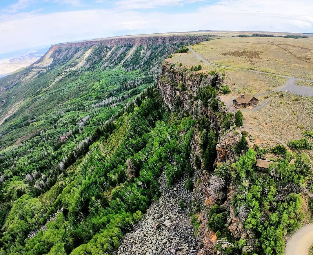
The Land’s End Observatory is 12 miles off Highway 65 on a road that is half paved, half dirt, but easily accessible even for smaller vehicles. While this historic observatory might no longer be in use, it is aptly named. The land ends here with steep cliffs and sweeping views. From Land’s End, if you look to the west, you can see the La Sal Mountains in Utah, over 120 miles away. To the southeast, Uncompahgre Peak along with several other 14,000-foot mountains can be seen. Colorado National Monument, Unaweep Canyon, and Big Dominguez Canyon are visible from this lookout, as well.
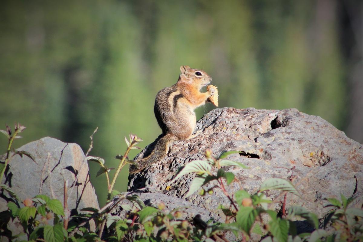
Photo by Keira Hawkins
In addition to the grand vistas, Land’s End is also home to hundreds of chipmunks. Feeling right at home between the high pine trees on the cliffside and the cracks and crevices between rocks, chipmunks dart back and forth, seemingly playing tag with one and other.
The Land's End road also continues down from the observatory towards the Town of Delta. Through a series of quick switchbacks, the road descends down the cliff face. Along the way, there is a waterfall and natural spring that crashes over the boulder fields. Since this is filtered water that comes from beneath the Earth's surface, it's a favorite place for hikers and backpackers to refill their water supply.
Camping
Currently, the only campgrounds open are Jumbo, Island Lake, and Little Bear. Jumbo and Island are reservable; however, reservations are fairly booked through August. There are a few first-come, first-served sites allotted during the week, but it’s a gamble. Little Bear can’t be reserved ahead of time, so arrive early to help your luck in capturing a spot. With the limited camping available at this time, consider staying at an RV or campsite in Grand Junction, only 45 minutes from the Grand Mesa. Canyon View RV Resort (and tent camping) is the newest property in town, and worth a look.
*On the Grand Mesa, you must have your dog leashed on the Crags Crest Trail, all campgrounds, and the Grand Mesa Visitor Center (Open Sunday – Saturday, 9 am – 5 pm).
*Currently, Carson Lake is closed due to dam work. This was written June 21, 2021.
Looking for more adventures on the Grand Mesa? Check out page 28 of the Grand Junction Visitor Guide!