Hiking Trails
A Paradise For Hikers Of All Skill Levels
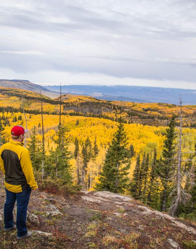
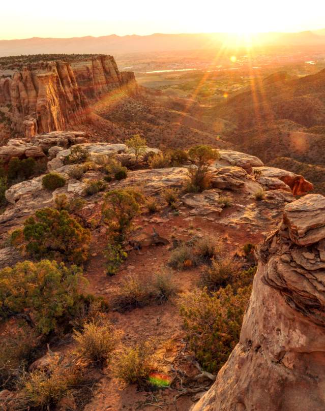
Strap on some comfortable walking shoes and grab some trail mix because Grand Junction is a paradise for hikers of all skill levels. Whether you want to take an afternoon stroll to marvel at the Colorado National Monument’s magnificent red rock formations, spend a few days exploring the area’s state parks and abundant public land, or try a more challenging hike in a National Forest, like the Crag Crest Trail on Grand Mesa, you’ll find exactly what you’re looking for on the trails around Grand Junction.
Check out our favorite hikes here!
CHECK OUT, CHECK IN!
Grand Junction, Colorado, invites outdoor enthusiasts to explore its stunning landscapes with the Outdoor Adventure Pass. This mobile-first passport provides a comprehensive collection of outdoor trails and locations to discover in Grand Junction. Whether you enjoy hiking, biking, or simply exploring nature, the Outdoor Adventure Pass guides you to the best spots in the Grand Junction area.
With detailed maps and information about each location, the passport ensures you have everything you need for an unforgettable adventure. Additionally, the pass includes recommendations for varying skill levels, so both beginners and experienced adventurers can find suitable trails and activities.
The Outdoor Adventure Pass also offers special discounts and deals at participating local businesses, enhancing your overall experience. By using the passport, you can uncover hidden gems and popular destinations alike, making your outdoor adventures in Grand Junction truly exceptional.
Key Features Include:
-
Trail Exploration: Discover new hiking, climbing, biking, fishing, OHV, and horseback riding trails in the Grand Junction area.
-
Earn Rewards: As you explore, local businesses provide rewards such as free dessert at Devil’s Kitchen, BOGO beverages, and more.
-
Easy to Use: Save the pass to your phone’s home screen for easy access and embark on unforgettable adventures while unlocking fantastic deals!
Download the Outdoor Adventure Pass:
Explore Year-Round Hiking Adventures
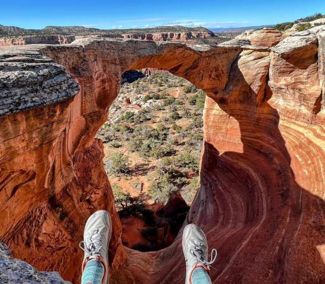
Grand Junction’s trails are just as breathtaking in the winter as they are in the summer, making it a year-round destination for outdoor enthusiasts. During the warmer months, trails like Devil’s Kitchen and Rattlesnake Arches showcase vibrant wildflowers, sandstone cliffs, and sweeping canyon views. As the temperatures rise, early morning hikes are perfect for catching the sunrise over Colorado National Monument or the lush greenery of Grand Mesa.
When winter arrives, the landscape transforms into a serene wonderland. Snow-dusted trails and crisp mountain air create a unique hiking experience that’s perfect for winter hiking enthusiasts. The Crag Crest Trail on the Grand Mesa offers stunning views and a peaceful atmosphere, while lower-elevation trails, like those in McInnis Canyons National Conservation Area, provide milder conditions for exploring under sunny skies. For those seeking a faster-paced winter adventure, Grand Junction is also home to thrilling snowmobiling trails, perfect for adrenaline seekers. If you’re craving a more tranquil winter activity, the area features fantastic Nordic skiing opportunities, with groomed trails that wind through the pristine snowy landscapes.
No matter the season, Grand Junction’s trails offer a way to reconnect with nature, challenge yourself, and soak in some of Colorado’s most spectacular scenery. Whether you’re planning a casual walk, an invigorating Nordic ski, or a snowmobile tour through the backcountry, this destination has something for everyone.


